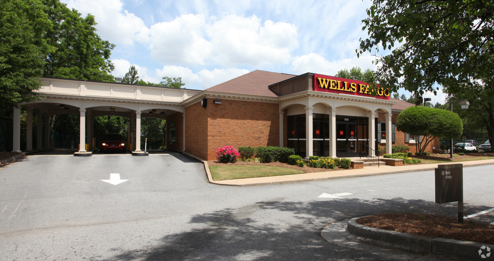
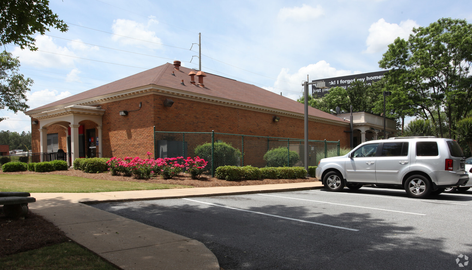
Property Record
1028 Killian Hill Rd Sw, Lilburn, GA 30047


NEARBY LISTINGS FOR SALE OR LEASE
Property Detail
1028 Killian Hill Rd Sw
6-090-111
Killian Hill
Financialbuilding
KILLIAN HILL RD
X
Gwinnett
13089C0105K
Georgia
2023
0.99 AC
2023
Lilburn/Snellville
050457
Atlanta
3,150 SF
Atlanta-Sandy Springs-Roswell, GA
DEMOGRAPHICS near 1028 Killian Hill Rd Sw
1 Mile
3 Mile
5 Mile
2024 Total Population
7,554
65,942
201,576
2029 Population
7,819
68,771
209,523
Pop Growth 2024-2029
+ 3.51%
+ 4.29%
+ 3.94%
Average Age
39
39
38
2024 Total Households
2,350
21,297
64,492
HH Growth 2024-2029
+ 3.62%
+ 4.32%
+ 3.95%
Median Household Inc
$114,040
$91,195
$74,793
Avg Household Size
3.20
3.00
3.00
2024 Avg HH Vehicles
2.00
2.00
2.00
Median Home Value
$322,094
$315,272
$289,125
Median Year Built
1984
1984
1987
Nearby Places
- Restaurants
- Banks
- Shops
- Fitness
- Groceries
PUBLIC TRANSPORTATION
AIRPORT
Hartsfield - Jackson Atlanta International
DRIVE
WALK
Distance
Hartsfield - Jackson Atlanta International
45 min
29.9 mi
Freight Ports
Georgia Ports - Savannah
DRIVE
WALK
Distance
Georgia Ports - Savannah
299 min
261.8 mi
SALE & LEASE HISTORY
LISTING DATE
SALE/LEASE

May 15, 2023
For Sale
Nearby Properties
Address
Land Use
TOTAL SIZE
Lot Size
Zoning
Address
Land Use
TOTAL SIZE
Lot Size
Zoning
478,862 SF
43.10 AC
OI
Address
Land Use
TOTAL SIZE
Lot Size
Zoning
301,014 SF
24.12 AC
RM13
Address
Land Use
TOTAL SIZE
Lot Size
Zoning
299,768 SF
17.15 AC
RM13
Address
Land Use
TOTAL SIZE
Lot Size
Zoning
23,286 SF
27.72 AC
RM-MULTI-F
Address
Land Use
TOTAL SIZE
Lot Size
Zoning
242,082 SF
43.15 AC
R1
Address
Land Use
TOTAL SIZE
Lot Size
Zoning
232,617 SF
19.61 AC
RM
Address
Land Use
TOTAL SIZE
Lot Size
Zoning
526,306 SF
77.45 AC
R100
Address
Land Use
TOTAL SIZE
Lot Size
Zoning
53,071 SF
142.06 AC
R75
Address
Land Use
TOTAL SIZE
Lot Size
Zoning
205,699 SF
25.75 AC
C2
Address
Land Use
TOTAL SIZE
Lot Size
Zoning
46,163 SF
4.05 AC
CB
Address
Land Use
TOTAL SIZE
Lot Size
Zoning
123,713 SF
5.97 AC
C2
Address
Land Use
TOTAL SIZE
Lot Size
Zoning
106,114 SF
16.59 AC
C2
Address
Land Use
TOTAL SIZE
Lot Size
Zoning
2.18 AC
R100-SINGL
Address
Land Use
TOTAL SIZE
Lot Size
Zoning
143,562 SF
15.97 AC
RM
Address
Land Use
TOTAL SIZE
Lot Size
Zoning
90,724 SF
27.28 AC
R100
Address
Land Use
TOTAL SIZE
Lot Size
Zoning
48,985 SF
17.87 AC
C2
Address
Land Use
TOTAL SIZE
Lot Size
Zoning
89,686 SF
19.34 AC
C2
Address
Land Use
TOTAL SIZE
Lot Size
Zoning
57,322 SF
9.18 AC
C2
Address
Land Use
TOTAL SIZE
Lot Size
Zoning
113,100 SF
11.39 AC
C2
Address
Land Use
TOTAL SIZE
Lot Size
Zoning
27,564 SF
6.02 AC
C3-CENTRAL
Address
Land Use
TOTAL SIZE
Lot Size
Zoning
136,930 SF
17.12 AC
C2-GENERAL
Address
Land Use
TOTAL SIZE
Lot Size
Zoning
62,377 SF
6.42 AC
OI-OFFICE-
Address
Land Use
TOTAL SIZE
Lot Size
Zoning
37,113 SF
130.10 AC
R100
Address
Land Use
TOTAL SIZE
Lot Size
Zoning
103,700 SF
10.20 AC
C2
Address
Land Use
TOTAL SIZE
Lot Size
Zoning
73,980 SF
4.51 AC
C2
Address
Land Use
TOTAL SIZE
Lot Size
Zoning
48,673 SF
6.88 AC
CB
Address
Land Use
TOTAL SIZE
Lot Size
Zoning
94,228 SF
15 AC
R100
Address
Land Use
TOTAL SIZE
Lot Size
Zoning
230,323 SF
15 AC
R100
Address
Land Use
TOTAL SIZE
Lot Size
Zoning
60,144 SF
7 AC
R100
Address
Land Use
TOTAL SIZE
Lot Size
Zoning
20.20 AC
OW
The World's #1 Commercial Real Estate Marketplace
Connect with us
© 2025 CoStar Group
The information above has been obtained from sources believed reliable. While we do not doubt its accuracy we have not verified it and make no guarantee, warranty or representation about it. It is your responsibility to independently confirm its accuracy and completeness. Any projections, opinions, assumptions, or estimates used are for example only and do not represent the current or future performance of the property. The value of this transaction to you depends on tax and other factors which should be evaluated by your tax, financial, and legal advisors. You and your advisors should conduct a careful, independent investigation of the property to determine to your satisfaction the suitability of the property for your needs.